Dead Reckoning: How to Navigate and Survive When Every Road Out of the City Is Blocked
When GPS fails and every major route is gridlocked, knowing how to navigate on foot through an urban environment could be the only thing that gets you out alive.
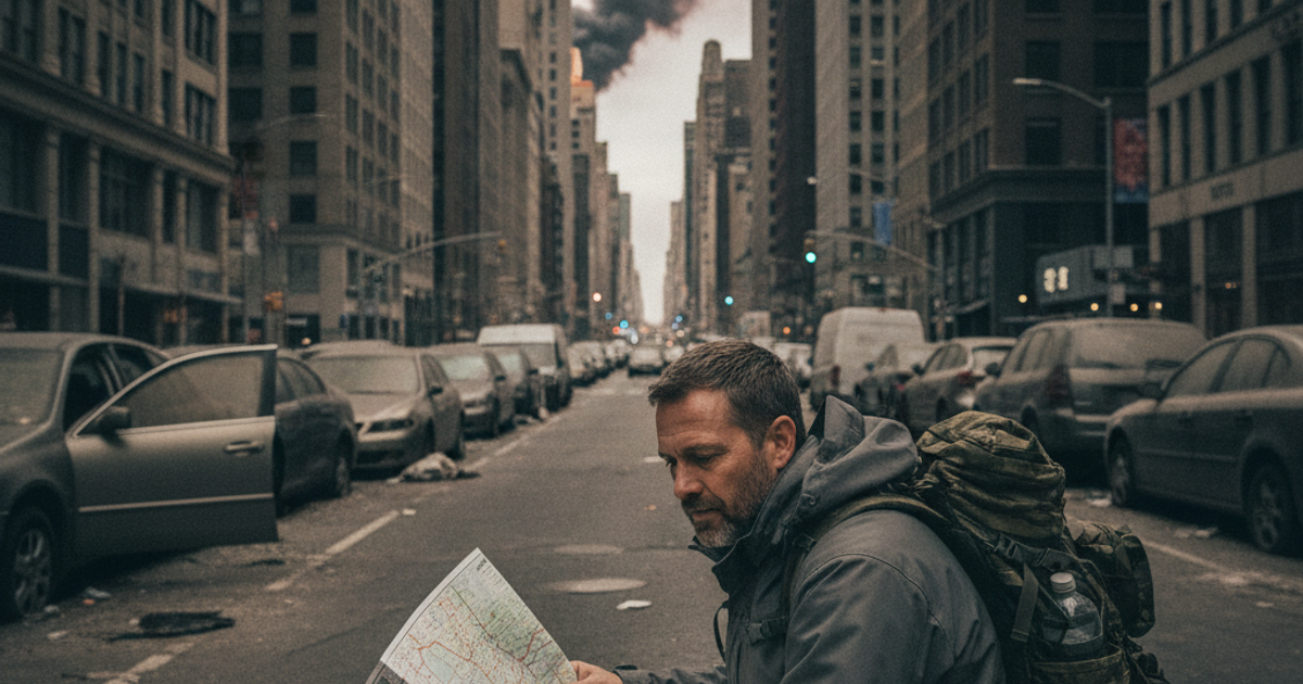
When the roads out of your city are gridlocked, flooded, blocked by debris, or controlled by checkpoints, the vehicle sitting in your driveway becomes dead weight. Every major urban evacuation in recent memory — Hurricane Katrina, the 2018 California Camp Fire, post-earthquake evacuations in Haiti — has demonstrated the same brutal reality: when everyone tries to leave at once, nobody moves. The contraflow lanes fill. The overpasses jam. And the clock keeps ticking.
That's when the prepper who knows how to navigate on foot, without GPS, without cell service, and without road signs becomes the one who actually gets out. Dead reckoning — the practice of estimating your current position based on a known starting point, your direction of travel, and distance covered — is the foundational skill that makes foot evacuation survivable. It's not glamorous. It doesn't require a smartphone. And it works.
Whether you live in a downtown apartment, a suburban neighborhood, or a rural property on the edge of town, understanding how to plan and execute a foot evacuation using map-and-compass navigation could be the most critical urban survival skill you never practiced.
Why GPS Fails Exactly When You Need It Most
During large-scale emergencies, GPS-dependent navigation faces several simultaneous threats. Cell towers go down, eliminating data connectivity for mapping apps. Power outages kill the ability to charge devices. In extreme scenarios — electromagnetic pulse events, coordinated cyberattacks, or solar weather events — GPS satellites themselves can be disrupted. According to FEMA's own emergency planning documentation, survivors should never rely on a single point of failure for any critical function, and navigation is no exception.
Even in scenarios where your phone stays charged, dense urban environments create significant GPS signal degradation through what's called the "urban canyon effect" — tall buildings reflect and absorb satellite signals, causing positioning errors of hundreds of feet. When you're trying to navigate through unfamiliar back alleys and cut through parks you've never visited, a hundred-foot error can put you on the wrong side of a fence, a flood barrier, or a hostile crowd.
The solution is the same one that mariners, military navigators, and wilderness explorers have used for centuries: a paper map, a quality compass, and the mental discipline to track your movement through space without electronic assistance.
What You'll Need
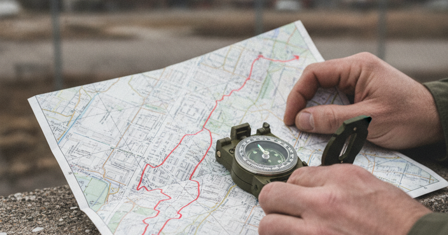
Tools
- Suunto A-10 baseplate compass
- Silva Ranger compass with mirror sighting
- Garmin inReach Mini GPS satellite communicator
Supplies
- Rand McNally laminated city street map
- National Geographic Trails Illustrated waterproof map
- Rite in the Rain all-weather field notebook
- 5.11 Tactical RUSH24 backpack
Understanding Dead Reckoning in an Urban Context
Dead reckoning in wilderness settings involves tracking your bearing, pace count, and elapsed time. In a city, the same principles apply — but the terrain is different. Instead of landmarks like ridgelines and rivers, your reference points are intersections, bridges, rail lines, elevated highways, and parks. The grid pattern of most American cities is actually a dead reckoning advantage: north-south and east-west streets create a built-in coordinate system you can use even without a compass, as long as you know which direction you're headed.
The core dead reckoning formula is simple: Distance = Speed × Time. An adult walking at a moderate pace covers roughly 3 miles per hour on flat ground. Under load with a bug out bag, degraded footing, or crowd navigation, expect 1.5 to 2 miles per hour. If you need to cover 8 miles to reach your rally point, plan for 4 to 6 hours of movement — and build in time for route obstacles, rest, and evasion.
For your bug out bag, start building your navigation kit around paper maps. A Rand McNally laminated city street map is an inexpensive, water-resistant starting point for anyone navigating through urban terrain — lamination protects it from rain, sweat, and rough handling in a way that printed paper simply won't survive. Pair it with a National Geographic Trails Illustrated waterproof map for the surrounding terrain outside city limits, where trails, elevation contours, and water features become critical navigation tools once you've cleared the urban zone.
How to Pre-Plan Your Urban Foot Evacuation Routes
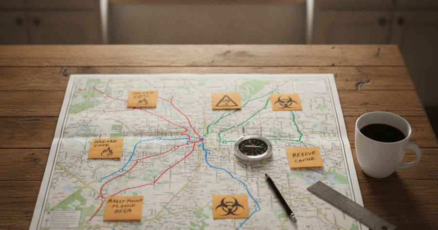
The single biggest mistake preppers make is assuming they'll figure out the route when the time comes. By then, stress hormones are flooding your system, your phone may be dead, and the streets may look nothing like they did on a calm Tuesday afternoon. Route planning is done at home, at your kitchen table, before anything goes wrong.
Start with your city map and identify your destination — your bug-out location, your family rally point, or your nearest rural exit. Then identify at least three distinct routes to that destination. Route A is your primary. Route B avoids the main arterials and uses secondary streets. Route C is a worst-case path — uglier, longer, and possibly unconventional — that uses green spaces, rail corridors, riverbanks, or industrial zones.
Mark the following on each route: water sources (parks with fountains, rivers, creeks), natural chokepoints (bridges, tunnels, underpasses) that may be blocked or dangerous, elevated positions where you can stop and observe before proceeding, and potential shelter points if you need to go to ground for the night.
This kind of detailed route intelligence is exactly what our article on Urban Evacuation Routes: How to Escape the City When SHTF covers in depth — it's essential reading for anyone still working on their primary evacuation planning.
The Grey Man Approach to Urban Movement
Knowing your route is only half the equation. How you move matters as much as where you move. During a SHTF scenario, a person with a tactical backpack, camouflage gear, and visible survival equipment becomes a target — for desperate individuals, for crowds, and potentially for law enforcement managing a crisis situation.
Grey man principles apply directly to urban foot evacuation. Move at a calm, deliberate pace. Don't run unless you're in immediate danger — running attracts attention and signals panic. Dress in neutral, unremarkable clothing. Keep your survival gear concealed inside your pack. Avoid making eye contact with groups of people, but maintain situational awareness of everyone within 50 feet of you at all times.
For a deeper breakdown of how to apply these principles in everyday carry and on-the-move scenarios, see our guide on Shadow Prep: How to Use Gray Man Principles for Everyday Carry Without Looking Like a Prepper.
Step-by-Step Instructions
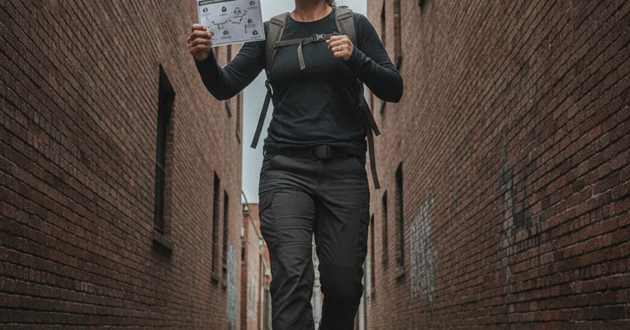
Step 1: Acquire and Study Your Physical Maps Before Any Emergency Occurs
Purchase both a detailed city street map and a topographic or trail map of the region surrounding your city. Study them until you can identify major landmarks, your home location, and potential exit corridors without squinting. Familiarity with your maps before a crisis dramatically reduces cognitive load when stress is high.
Step 2: Identify and Walk Your Primary Evacuation Route on Foot
Don't just plan your route on paper — physically walk or drive it in advance. Note chokepoints, alternate cut-throughs, fencing that might block passage, and any terrain features not obvious from a street-level map. Do this for at least two of your three planned routes before SHTF.
Step 3: Calibrate Your Compass and Establish a Baseline Bearing
A quality baseplate compass like the Suunto A-10 baseplate compass is an affordable, reliable tool for any urban prepper. Set your declination adjustment for your region (the difference between magnetic north and true north, which varies by location), then practice taking bearings from your home to known landmarks until the process becomes second nature.
Step 4: Build and Pack Your Navigation-Ready Bug Out Bag
Your bug out bag should contain your maps, compass, field notebook, water, emergency food, and basic survival gear in a configuration you can move with for 24–72 hours. The 5.11 Tactical RUSH24 backpack is a well-regarded option in the emergency preparedness community, offering a high-capacity, organized interior with MOLLE webbing for modular attachments — and a low-profile design that doesn't scream "tactical" to every passerby.
Step 5: Record Waypoints and Track Distance Using a Field Notebook
As you move, log your direction, estimated distance covered, notable landmarks, and elapsed time in a waterproof notebook. A Rite in the Rain all-weather field notebook holds up to rain, sweat, and rough conditions where standard paper fails completely. Recording your movement creates a trackable record that allows you to backtrack or correct course if you deviate from your planned route.
Step 6: Navigate Chokepoints Using Observation Before Committing
Before crossing any bridge, underpass, intersection, or narrow corridor, stop at a position of cover and observe for at least 60–90 seconds. Identify who is present, whether movement is flowing freely, and whether there are signs of conflict or control. If a chokepoint looks compromised, consult your map immediately for your pre-planned alternate path.
Step 7: Use the Silva Ranger for Precision Navigation at Decision Points
When you reach major decision points — particularly when exiting urban terrain into open country — precision bearing matters more than ever. The Silva Ranger compass with mirror sighting allows you to take accurate bearings on distant landmarks using the mirror sighting mechanism, reducing navigational error significantly over long distances. Practice this technique before you need it.
Step 8: Maintain Communication Capability With a Satellite Device
Cell networks will saturate or fail in a major urban emergency. The Garmin inReach Mini GPS satellite communicator operates on the Iridium satellite network, which functions independently of cell towers and ground infrastructure. It allows two-way text messaging, SOS activation, and GPS tracking — critical for coordinating with family members at your rally point when every other communication channel is down.
Alternate Routes: Thinking Beyond the Road Network
When roads are blocked, most people's mental map goes blank. Preppers think differently. The urban and suburban landscape is threaded with non-road corridors that most evacuees never consider:
- Rail lines and rail rights-of-way: In most cities, freight and commuter rail corridors run parallel to major roads but are rarely congested on foot. Know where they run and whether they lead toward your exit direction.
- Riverbanks and creek corridors: Water follows gravity toward lower terrain and out of cities. Following a river downstream often leads to lower-density areas, and many cities maintain public greenway trails along their waterways.
- Power line easements: High-voltage transmission corridors cut across city boundaries, through suburban neighborhoods, and into rural terrain. They're cleared, walkable, and rarely marked on standard road maps.
- Parks, golf courses, and green belts: These can provide cover, bypass congested streets, and serve as staging areas for rest and observation.
- Storm drain systems: In some cities, large storm drainage infrastructure is walkable — though this option carries serious risk from weather events and should be a last resort.
For those whose foot evacuation route eventually transitions into open wilderness or rural terrain, understanding Land Navigation Essentials: How to Use a Topographic Map and Compass When GPS Fails is the essential next chapter in your navigation education.
Physical Fitness and Load Management for Foot Evacuation
Dead reckoning means nothing if you're unable to keep moving. Research from military load-bearing studies suggests that carrying more than 30% of your body weight significantly degrades both speed and decision-making over extended distances. For a 180-pound person, that's a 54-pound maximum — and most preppers would be better served by keeping their bug out bag under 35 pounds for multi-day foot movement.
Prioritize ruthlessly. Navigation tools, water, water purification, emergency food, shelter, and a basic first aid kit are non-negotiables. Comfort items and redundant gear get cut. Practice walking 5–8 miles with your loaded bag before a crisis forces you to discover its weaknesses.
A fixed blade like the Morakniv Companion fixed blade knife is a lightweight, durable cutting tool that earns its place in any bug out bag without adding significant weight. Whether you're cutting cordage, preparing improvised shelter materials, or handling field tasks once you've cleared the city, a reliable fixed blade is a core piece of survival gear that doesn't let you down.
Frequently Asked Questions
How do I navigate through a city without GPS or cell service?
Use a paper street map and a baseplate compass. Before any emergency occurs, study your city's layout and identify at least three foot evacuation routes to your rally point. Practice taking compass bearings, tracking your pace count, and identifying navigational landmarks. Dead reckoning — tracking your direction and distance from a known start point — works reliably when electronic navigation fails, as long as you've practiced the skill in advance.
What should I put in my bug out bag for a foot evacuation through the city?
Your urban foot evacuation survival kit should prioritize navigation tools (map and compass), water and water purification, at least 72 hours of calorie-dense emergency food storage, a basic trauma first aid kit, a fixed blade knife, emergency communication capability, and weather-appropriate clothing. Keep total weight under 35 pounds if possible. Everything in your bag should have a specific purpose — dead weight costs you speed and stamina when both matter most.
Can apartment dwellers and people without cars realistically plan a foot evacuation?
Absolutely — and in many ways, urban preppers who are already accustomed to walking have a physical advantage over suburban residents who haven't covered significant distances on foot in years. The key is pre-planning: know your routes, know your rally point, and keep your bug out bag packed and accessible. Apartment preppers should also familiarize themselves with their building's exit routes, neighboring buildings' exits, and any rooftop or interior corridor options that might provide safer movement in a ground-level threat scenario.
Affiliate Disclosure: SHTFPlan.net participates in the Amazon Services LLC Associates Program. Some links are affiliate links — we may earn a small commission at no extra cost to you.