Urban Evacuation Routes: How to Escape the City When SHTF
When disaster strikes a city, every road becomes a trap. Learn how to plan and execute a fast, safe urban evacuation before the routes close.
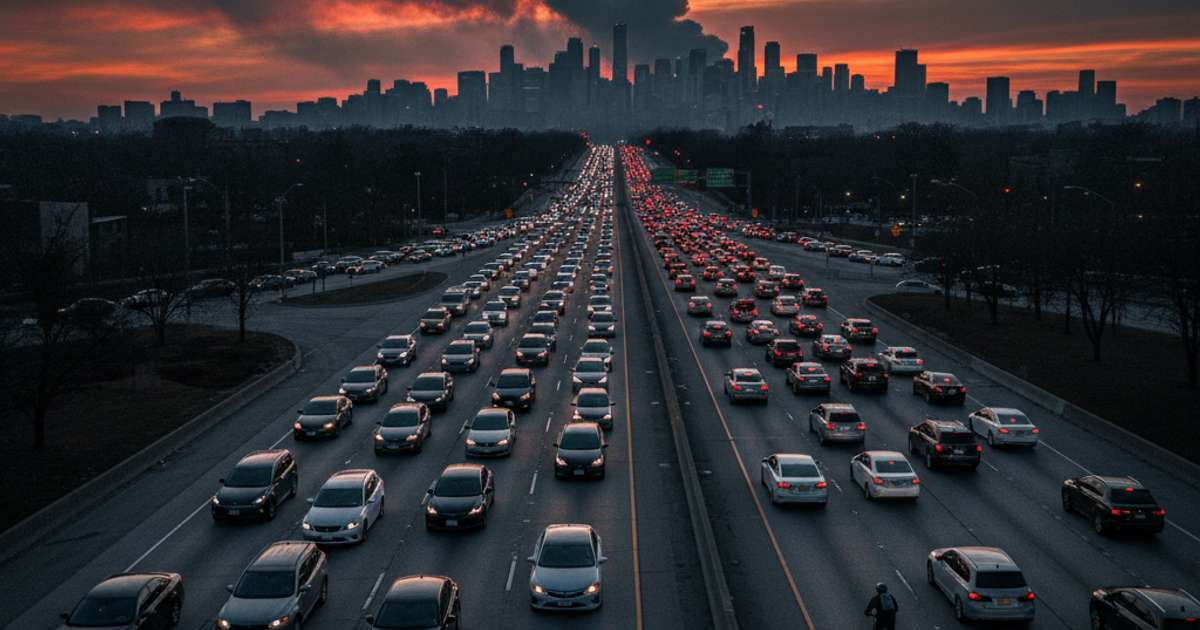
When disaster strikes a major city, the window between an orderly evacuation and a life-threatening gridlock can be measured in minutes. Whether it's a chemical spill, a civil unrest scenario, a natural disaster, or a full-scale SHTF event, urban dwellers face a unique and brutal challenge: getting out of a densely populated area before the exits slam shut.
According to the U.S. Census Bureau, over 80% of Americans now live in urban or suburban areas. That means the vast majority of preppers aren't bugging out from a rural homestead — they're starting from an apartment, a townhouse, or a suburb surrounded by millions of other people who will all have the same idea at the same time. If you don't have a plan mapped out before the crisis hits, you're already behind.
This guide breaks down how to plan your urban evacuation routes, identify and avoid traffic choke points, and execute a fast, disciplined bug-out when seconds count.
Why Urban Evacuation Planning Is Different from Rural Bug-Out Strategy
Rural preppers often think of bugging out in terms of loading a truck and driving to their retreat property. Urban evacuation is a fundamentally different problem. Cities are designed to funnel traffic onto a small number of major arteries — highways, bridges, tunnels, and overpasses. In a crisis, those same arteries become death traps.
During Hurricane Katrina in 2005, contraflow lane reversals were implemented too late, and Interstate 10 became a 100-mile parking lot. Hundreds of thousands of people were stranded in their vehicles for 12 or more hours. In a faster-moving crisis — a chemical release, a terrorist event, or a grid-down scenario — that kind of delay could be fatal.
The urban prepper's mindset must shift from "how do I get out comfortably" to "how do I get out fast, on whatever route is still open, using whatever means are available to me." That means planning for vehicles, but also for foot travel, bicycles, and waterways.
How to Map Your Urban Escape Routes Before a Crisis Hits
The foundation of any solid urban evacuation plan is pre-crisis route mapping. Don't rely on your phone or GPS app in an emergency. Cell networks become overloaded or fail entirely during major disasters, and digital maps require power and connectivity you may not have.
Start with a physical map. A Rand McNally folded city street map of your metropolitan area is one of the most underrated pieces of survival gear you can own. Study it. Know the secondary roads, the side streets, and the neighborhoods between your starting point and your destination. Paper maps don't need batteries, won't lose signal, and can't be hacked.
For each potential evacuation scenario, plan a minimum of three distinct routes out of the city:
- Primary Route: Your fastest option under normal conditions, likely using highways or major roads.
- Secondary Route: Surface streets and arterial roads that bypass highway on-ramps and bridges.
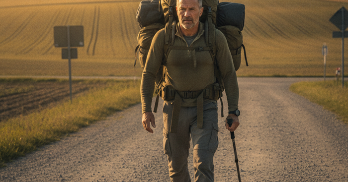
- Tertiary Route: A foot-travel or bicycle route that avoids roads entirely — rail trails, river paths, utility corridors, and green spaces.
Drive each of these routes physically, at different times of day, before you ever need them. Note choke points, low-clearance underpasses, road conditions, and neighborhoods you'd want to avoid during social unrest. This kind of pre-crisis situational awareness is what separates a prepared prepper from a refugee.
For regional navigation beyond your city, supplement your street map with a DeLorme Atlas road map book for your state. These atlases include detailed topographic data, back roads, forest service roads, and rural routes that won't appear on standard road maps. Once you're out of the city, you'll need to navigate secondary roads to avoid refugee traffic on main highways.
Identifying and Avoiding Urban Traffic Choke Points
Every city has predictable bottlenecks. Identifying them now — before a crisis — is a critical part of your emergency preparedness planning. Common urban choke points include:
- Bridges and tunnels: Single points of failure that can stop an entire city's evacuation cold. Identify every bridge and tunnel on your routes and have an alternate for each.
- Highway on-ramps: These will be gridlocked within the first hour of any mass evacuation. Surface street alternatives are almost always faster after the first 30 minutes of a crisis.
- Railroad crossings: A stopped or disabled train can block multiple roads simultaneously. Know which crossings are on your routes.
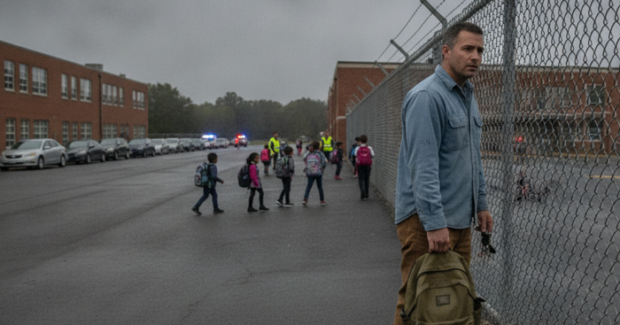
- School zones and government buildings: These areas will be overwhelmed with people during a crisis event. Route around them.
- Gas stations: Everyone will stop for fuel simultaneously. Have a full tank policy — never let your vehicle drop below half. Carry a spare fuel can if possible.
Study your city's traffic patterns using tools like Google Maps' historical traffic data, available even on a desktop browser. This tells you which roads are chronically congested and which are relatively clear. During an actual evacuation, those patterns will be amplified by orders of magnitude.
For suburban and rural readers: your choke points are different but equally real. Rural highways leading away from a city will back up as urban evacuees spill out. Know the farm roads, county routes, and forest service roads that run parallel to main highways. Your vehicle emergency kit should include the tools to handle rough terrain if you need to take unimproved roads.
The Grey Man Principle: How to Evacuate Without Becoming a Target
In a true SHTF scenario, how you look and behave during evacuation matters as much as your route. The grey man concept — blending in, not drawing attention, appearing unremarkable — applies directly to urban evacuation. A vehicle loaded with visible camping gear, fuel cans strapped to the roof, and tactical gear in the back window tells every desperate person on the street exactly what you have and where you might be going.
Pack your bug out bag in a nondescript backpack, not a military-patterned tactical pack. Keep survival gear stored out of sight in your vehicle. Dress for the environment — not in full tactical kit, but in practical, layered clothing that won't mark you as a target. For a deeper dive into this concept, check out our guide on Top 10 Tips for Using Gray Man Methodology in a Societal Breakdown.
A quality, low-profile pack like the GoRuck GR1 bug out backpack is built to military specifications but looks like a civilian travel pack. It can carry 3+ days of supplies, withstands brutal conditions, and won't scream "prepper" to everyone around you. This is the kind of gear that serves double duty: functional enough for serious urban survival, subtle enough not to paint a target on your back.
Communication and Coordination During Urban Evacuation
One of the most overlooked aspects of urban evacuation planning is communication. Cell networks are notoriously unreliable during mass emergencies — the FCC has documented network congestion failures during virtually every major disaster of the past 20 years. Your plan must include communication methods that don't depend on cellular infrastructure.
A Motorola Talkabout T800 two-way radio gives you reliable short-range communication with family members during an evacuation without depending on cell towers. These radios can operate on NOAA weather channels as well, giving you access to emergency broadcasts when you need real-time information about route closures or hazard zones.
For longer-range communication — particularly relevant if your bug-out destination is more than 20-30 miles away and you need to coordinate with people there — a satellite communicator is worth serious consideration. The Garmin inReach Mini GPS communicator uses the Iridium satellite network to send two-way messages and GPS coordinates anywhere on the planet, independent of cell towers entirely. It also allows SOS signaling to emergency services — a critical capability if your group gets separated or encounters a medical emergency during evacuation. Pair this with a solid understanding of situational awareness principles to make real-time decisions as conditions evolve on the ground.
Executing a Fast Bug-Out: The First 15 Minutes Are Everything
When the trigger event happens, your margin for a smooth evacuation is narrow. Research from FEMA's National Incident Management System indicates that in most urban disaster scenarios, roads reach critical congestion within 60-90 minutes of a major triggering event. Your goal is to be moving — or have consciously chosen to shelter in place — within the first 15 minutes.
This requires a pre-loaded system:
- Trigger criteria: Define in advance what events will trigger your evacuation. Don't wait for official orders — by then, every road will be full. Your family emergency plan should include pre-agreed trigger criteria that every household member understands.
- Pre-packed gear: Your bug out bag should be packed and ready at all times. Your vehicle should carry additional supplies. You should not be packing when the clock is ticking.
- Rally points: If family members are at work, school, or elsewhere when the event occurs, have pre-established rally points — not just your home — at multiple distances from the city center.
- Go/No-Go decision: Sometimes bugging in is the right call. Have a framework for making that decision quickly. Our guide on Bugging In: The Quick Guide to Sheltering at Home covers the conditions under which staying put beats evacuating.
What Goes in Your Urban Bug Out Bag
Your bug out bag for an urban evacuation has some unique requirements compared to a wilderness survival kit. You may be moving through crowds, navigating urban environments, or sheltering in vehicles or buildings rather than in the open field.
Core contents should include:
- 72-hour supply of emergency food storage — calorie-dense, compact, no-cook options
- Water purification tablets or a compact filter (urban water sources like fountains, puddles, and standing water may be your only option)
- Physical maps of your city and region
- First aid kit with trauma supplies
- Medications and copies of prescriptions
- Cash in small bills — ATMs will be empty or offline
- Multi-tool and basic survival gear
- Headlamp with extra batteries
- Phone battery bank (fully charged)
- Change of clothes and rain gear
- Important documents in a waterproof pouch
For a complete breakdown, see our Complete 72-Hour Bug Out Bag Checklist for Urban Survival.
What You'll Need
- Physical map of your city and surrounding areas (waterproof)
- Compass or GPS device with offline maps
- Bug-out bag with 72 hours of supplies
- Full tank of gas and spare fuel cans
- Portable radio for emergency broadcasts
- Bolt cutters and multi-tool
- Bicycle or motorcycle as backup transportation
- Cash in small bills
Step-by-Step Instructions
Step 1: Identify Multiple Exit Routes Before Crisis Hits
Map out at least three different evacuation routes from your home to safe zones outside the city, using different directions and road types. Include primary highways, secondary roads, and tertiary paths like service roads, railroad tracks, and waterways. Mark choke points, bridges, and tunnels that could become bottlenecks during mass evacuation. Update your routes quarterly and drive them at different times to understand traffic patterns and identify potential obstacles.
Step 2: Monitor Early Warning Signs and Leave Immediately
Watch for indicators that evacuation is necessary: civil unrest escalation, grid failures, government warnings, or natural disaster predictions. When signs appear, make the decision to leave within 30 minutes, before official evacuation orders cause highway gridlock. The first 10% to evacuate have clear roads; waiting even two hours can trap you in traffic for days. Trust your instincts and leave before the situation becomes critical.
Step 3: Execute Your Primary Route with Constant Situational Awareness
Begin evacuation using your primary route while actively monitoring radio, traffic apps, and visual conditions ahead. Stay alert for signs of congestion, roadblocks, accidents, or civil disorder that could trap you. Keep windows partially open to hear what's happening around you and maintain 360-degree awareness. If your primary route shows any signs of failure, immediately switch to your secondary route before you're committed to a blocked path.
Step 4: Navigate Around Obstacles Using Alternative Methods
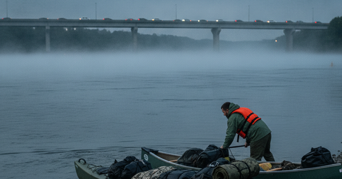
When roads become impassable, use your pre-planned alternative transportation and pathways. Bicycles can navigate through stopped traffic and use sidewalks, trails, and parks. On foot, utilize railroad tracks, power line access roads, drainage corridors, and greenbelts that bypass congested areas. Avoid obvious chokepoints like major bridges and tunnels where crowds concentrate, instead seeking smaller crossings or even wading through shallow waterways if necessary.
Step 5: Bypass Urban Density by Skirting the Periphery
Rather than fighting through the urban core, navigate to the city's edge using less-traveled residential streets and industrial areas. Ring roads, beltways, and peripheral highways often have less congestion than radial routes. Move through suburban areas where population density drops quickly, and side streets provide numerous alternatives. Position yourself to exit from the least obvious direction, as most people instinctively head toward perceived safety in predictable patterns.
Step 6: Establish Rally Points and Communication Protocols
Designate specific waypoints at 10, 25, and 50 miles from the city where separated family members will regroup. Choose locations that are easy to identify without GPS: specific gas stations, landmarks, or natural features. If cell networks fail, leave physical markers or messages at rally points indicating your direction and timing. Never wait more than 2 hours at a rally point before moving to the next designated location.
Step 7: Reach Your Bug-Out Location and Assess Security
Upon arriving at your predetermined safe location outside the city, conduct a security assessment before settling in. Verify the area is free from other evacuees who might compete for resources or pose threats. Establish a defensive perimeter and concealment for your vehicle and supplies. Monitor emergency broadcasts to determine if the situation is temporary or long-term, and adjust your plans accordingly for either sheltering in place or moving to a more remote secondary location.
Frequently Asked Questions
What is the best time to leave during an urban evacuation to avoid traffic?
The best time to leave is before official evacuation orders are issued, if your trigger criteria are met and conditions allow. Studies of past hurricane evacuations show that residents who left 12-24 hours before mandatory orders experienced a fraction of the traffic delays compared to those who waited. Monitor local emergency radio, weather alerts, and situational conditions continuously during a developing crisis. Have your gear pre-staged so you can leave within minutes of making the decision. If you're already in gridlock, seriously reconsider whether sheltering in place or finding an alternate on-foot or bicycle route is safer.
What should I do if I'm on foot during an urban bug-out without a vehicle?
On-foot urban evacuation requires a different set of priorities. First, move perpendicular to the flow of vehicle traffic — you can often make faster progress on foot by taking routes vehicles can't use, including rail trails, river paths, parks, and side streets. A well-packed bug out bag with 72 hours of supplies, a water purification filter, and good footwear is non-negotiable. Aim to cover 10-15 miles per day at a sustainable pace. Pre-plan checkpoints and cache locations if possible, and know where public water sources, churches, and community centers are located along your route. Blend in and avoid displaying valuables — grey man principles apply even more on foot.
How far should my bug-out destination be from the city, and what if I don't have a rural retreat?
A general rule of thumb is to get at least 50-100 miles from a major urban center to clear the immediate disaster zone and the bulk of refugee traffic. However, not every prepper has a dedicated retreat property, and that's okay. Your bug-out destination can be a friend or family member's home, a campground, a motel along a secondary highway, or even a pre-identified public land area. The key is that you've identified it, driven the route, and know how to get there without GPS. Build relationships with people in rural or suburban areas who might serve as your destination — community networks are one of the most valuable and underrated elements of emergency preparedness.
Affiliate Disclosure: SHTF Plan participates in the Amazon Services LLC Associates Program. Some links are affiliate links — we may earn a small commission at no extra cost to you.