Why Every Prepper Needs a Drone: Aerial Recon, Perimeter Security, and Search Operations When SHTF
A drone turns a prepper into an air force of one — spotting threats, scouting bug-out routes, and finding lost family members long before boots hit the ground.
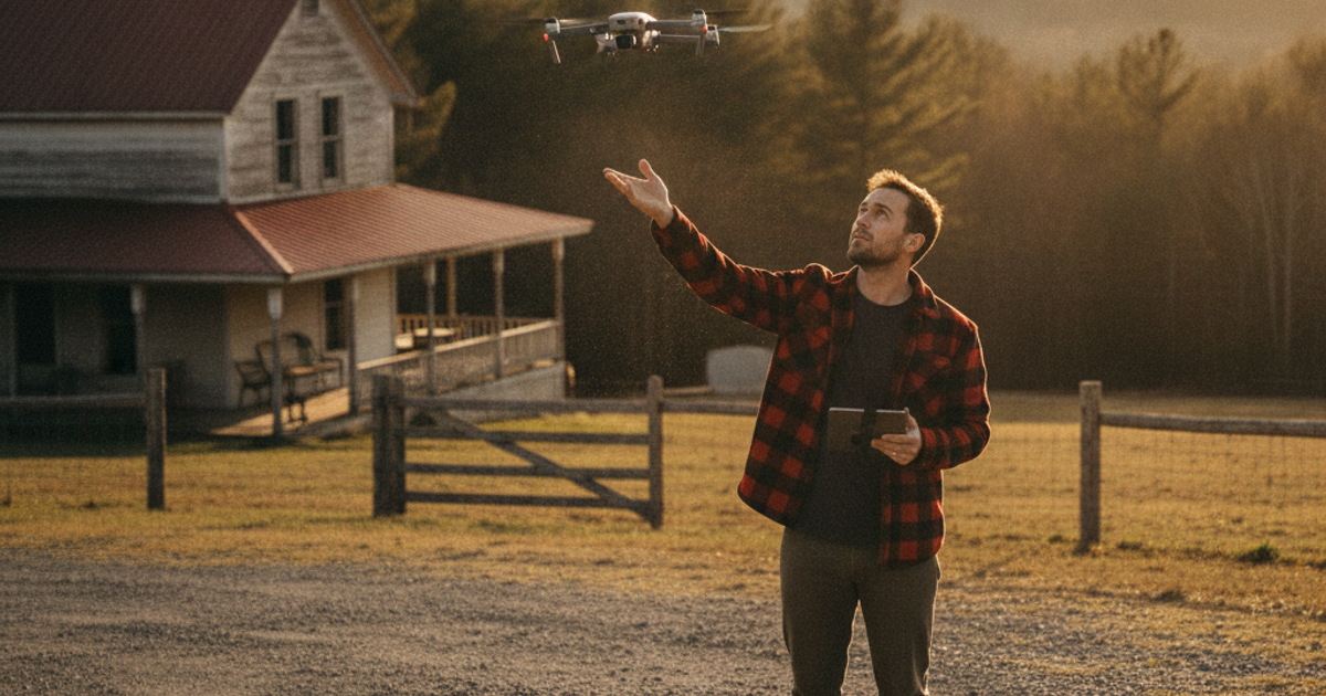
For most of human history, the single greatest advantage in a conflict or a disaster was elevation. Whoever held the high ground saw the threat first. Today, a $700 folding quadcopter gives any prepper — whether you're on 40 acres in Montana or in a fourth-floor walkup in Philadelphia — a view from 400 feet that used to require a helicopter and a pilot's license. That is a force multiplier no amount of canned food can replace.
Drones aren't toys anymore. FEMA, state emergency management agencies, and thousands of volunteer search-and-rescue teams now fly them routinely. After Hurricane Ian in 2022, aerial imagery teams flew thousands of sorties to map damage that ground crews couldn't reach for days. A 2019 study published in Aviation, Space, and Environmental Medicine-adjacent SAR literature found drone-assisted searches located simulated victims significantly faster than ground teams alone across open terrain. Meanwhile, the FAA's registry passed 1 million registered drones, meaning the airspace skill you build today is one millions of others already have.
The question isn't whether a drone belongs in your preparedness plan. It's how you integrate it into situational awareness, perimeter security, route scouting, and damage assessment without burning through batteries, bystander goodwill, or your operational security.
What You'll Need
Tools
- DJI Mini 4 Pro drone (sub-250g, no FAA registration required for recreational use)
- DJI Mavic 3 Thermal drone for night and heat-signature work
- Autel EVO Lite drone as a non-DJI alternative
- Hard-shell drone carrying case
Supplies
- Spare intelligent flight batteries (minimum three)
- Portable power station for off-grid recharging
- Folding solar charger panel
- Anti-collision strobe light for legal night flight
- Printed topographic maps and a 64GB+ microSD card
How to Choose the Right Drone for Emergency Preparedness
Start with weight. The FAA does not require registration for recreational aircraft under 250 grams, which is why the sub-250g class dominates the prepper market. The DJI Mini 4 Pro hits that weight while delivering roughly 34 minutes of flight, omnidirectional obstacle sensing, and a camera good enough to read a street sign from 200 feet. For apartment dwellers and anyone practicing grey man discipline, a drone that folds to the size of a water bottle and slips into a hard-shell carrying case inside a daypack is far more useful than a fixed-wing platform you can't deploy discreetly.
If you want a second ecosystem — or you're uneasy about relying entirely on one manufacturer's firmware and geofencing — the Autel EVO Lite offers comparable range with a historically more permissive approach to no-fly zone unlocking. Redundancy in airframes is the same principle as redundancy in water purification methods: two is one.
When Thermal Imaging Is Worth the Money
A visual camera at night shows you nothing. A radiometric thermal sensor shows you a human being through brush, smoke, and total darkness. The DJI Mavic 3 Thermal is the serious tier — it will find a lost child in a treeline, spot a smoldering ember on your roof after a wildfire passes, locate a livestock escape at 2 a.m., and reveal a person crouched behind your fence line. If you already run ground-based thermal imaging and night vision optics, an aerial thermal platform extends that same capability over terrain you can't walk.
How to Use a Drone for Perimeter Security and Neighborhood Intelligence
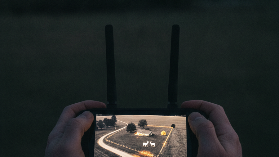
Fixed cameras cover fixed angles. A drone covers everything. For rural properties, fly a standardized perimeter orbit at 200–300 feet at dawn and dusk — the two windows when approach is most likely and thermal contrast is highest. Save the flight as a waypoint mission so it runs identically every time; consistent imagery makes changes obvious. A gate left open, tire tracks in a fenceline, a new campfire ring in the back forty: these register instantly when you're comparing today's frame to last week's.
Suburban and urban readers face a different problem: you can't legally or safely orbit over neighbors' homes. Instead, use short vertical "pop-ups" from your own property — climb to 150 feet, capture a 360° panorama, and descend within 90 seconds. That single image tells you which streets are blocked, where smoke is coming from, whether a crowd is forming three blocks over, and which exit route is still moving. Pair that with the techniques in our guide to monitoring local threats without drawing attention, and you have real intelligence instead of rumor.
A word on OPSEC: drones are loud and visible. Every launch advertises your position. Fly from cover, fly briefly, and never hover directly over your own roof while others are watching. Review our OPSEC guidance for preppers before you make aerial recon a daily habit.
Scouting Bug-Out Routes and Assessing Disaster Damage From the Air
The most valuable prepper use of a drone happens before SHTF. Fly every primary and secondary bug-out route now, in good weather, and archive the footage. Note bridge widths, low-water crossings, chokepoints, culverts, and gates. During an actual evacuation, a two-minute flight from a pullout tells you whether the next five miles are passable — information that can save you from a three-hour reverse through gridlock. This pairs directly with urban evacuation route planning and with marking the locations of buried survival caches along the way.
Post-disaster, a drone is your roof inspector, your floodwater gauge, and your insurance documentation. After a tornado or hurricane, climbing a damaged roof is how people die. Fly it instead. Time-stamped 4K imagery of structural damage has become widely accepted documentation for claims, and you can capture it before debris is cleared.
How to Keep a Drone Flying Off-Grid
A drone without power is a paperweight. Consumer flight batteries hold roughly 40–80 watt-hours each, so a 500Wh Jackery Explorer 500 portable power station can realistically recharge a Mini-class battery six to ten times before it needs a refill. Top the station back up with a folding BigBlue 28W solar panel — modest, but enough to sustain a one-or-two-flight-per-day recon tempo indefinitely. Readers building larger arrays should see our solar panel selection guide.
Carry at least three intelligent flight batteries. Store lithium-polymer packs at 40–60% charge in a cool location; storing them full degrades capacity fast and raises fire risk. Cycle them every three months. Cold kills LiPo performance — below freezing, expect 30–50% less flight time, so warm batteries against your body before launch.
Step-by-Step Instructions
Step 1: Register and learn the rules first
If your aircraft exceeds 250g, register it with the FAA ($5, valid three years) and pass the free TRUST recreational safety test. Anything commercial requires a Part 107 certificate. Know your local Class B/C/D airspace and use the B4UFLY or Aloft app before every flight.
Step 2: Build a baseline map of your area of operations
Fly a systematic grid or perimeter over your property or neighborhood in clear daylight. Save the imagery to a microSD card and to offline storage. This baseline is what makes future change detection possible.
Step 3: Program repeatable waypoint patrol routes
Use your drone's waypoint or hyperlapse function to create an identical orbit you can launch with one tap. Standardize altitude, speed, and camera angle so every pass is directly comparable to the last.
Step 4: Install strobes and practice night operations
Legal night flight requires anti-collision lighting visible for three statute miles. Mount a Lume Cube strobe anti-collision light and practice launching, orbiting, and recovering in full darkness before you need to.
Step 5: Fly and archive every bug-out route
Drive to staging points along each evacuation corridor and capture short flights of bridges, intersections, and chokepoints. Store footage offline alongside printed topographic maps in case GPS or screens fail.
Step 6: Establish an off-grid charging routine
Connect batteries to your power station, log how many full charges you get, and calculate your realistic daily flight budget. Test solar recharge times in both summer and winter conditions.
Step 7: Run a search-and-rescue drill with your group
Have a family member hide in a wooded or urban area and practice locating them by air. Use a lawnmower search pattern at 150–200 feet and time the result against a ground search.
Step 8: Store the system ready to deploy
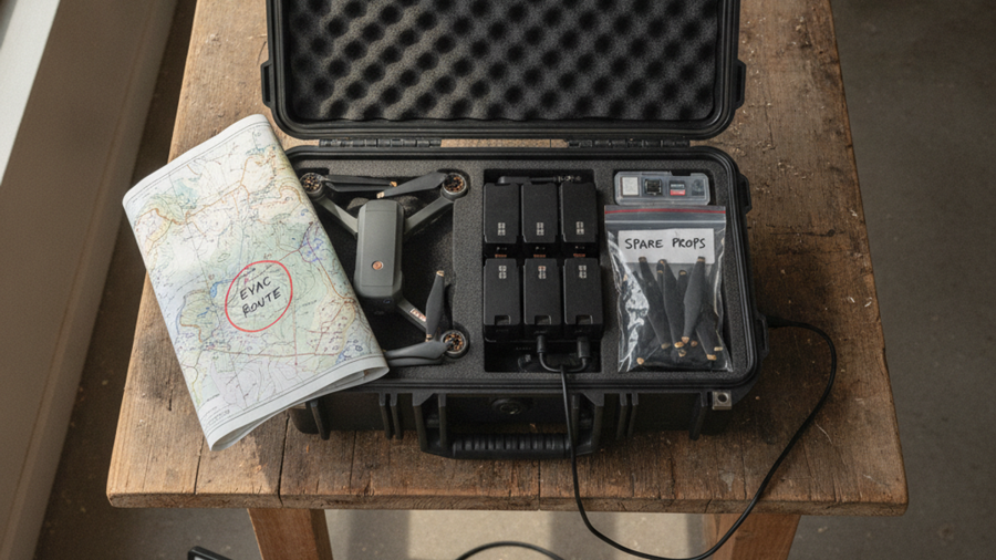
Keep the aircraft, controller, cables, spare props, and batteries in one hard case near your 72-hour bug out bag so the entire kit moves as a single grab-and-go unit.
Frequently Asked Questions
Do I need a license to fly a drone for prepping?
For purely recreational flying, you need the free FAA TRUST certificate and registration if your drone weighs over 250 grams. Anything done for business, including paid damage assessment, requires a Part 107 remote pilot certificate — a proctored exam costing about $175. Many preppers pursue Part 107 anyway because the airspace knowledge is genuinely useful.
Can I fly a drone during a declared disaster?
Usually not without authorization. The FAA routinely issues Temporary Flight Restrictions over wildfires, hurricanes, and major incidents, and interfering with firefighting aircraft carries fines up to $20,000 and criminal liability. Check TFRs before every flight and never launch near active air operations.
What's the best drone for a beginner prepper on a budget?
A sub-250g folding model in the $500–800 range is the sweet spot. It skips registration, packs small enough for a bug out bag, flies 30+ minutes, and produces imagery good enough for route scouting and damage assessment. Add thermal capability later once you've mastered basic flight.
Affiliate Disclosure: SHTFPlan.net participates in the Amazon Services LLC Associates Program. Some links are affiliate links — we may earn a small commission at no extra cost to you.